 |
 |
 |
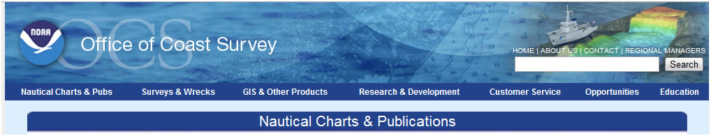
| NOAA produces over 1000 paper charts covering coastal waters of the U.S. Purchase traditional paper charts or Print on Demand paper charts. |
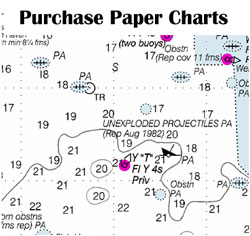
Raster Navigational Charts (RNCs) are electronic images of traditional paper charts. Fully up to date RNCs can be downloaded for free to use in electronic chart systems. Not good for printing. |
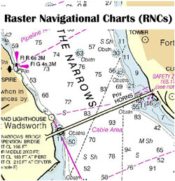
NOAA PDFs are high resolution viewable and printable charts. They can be downloaded and used offline. Load them on a tablet, smartphone, laptop. Great for printing. |
| |
|
|
 |
 |
 |
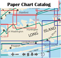
| Find the paper chart or RNC that covers your area of interest. Choose from the interactive catalog or the traditional catalog. |
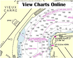
View any of NOAA's 1000+ charts online. These charts are completely up to date with the latest corrections. |
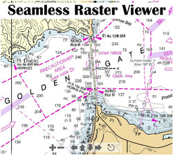
View RNCs that are "sewn" together/contiguous. |
| |
|
|
 |
 |
 |
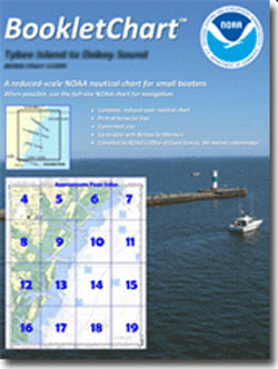
| Print a full size NOAA chart in page size panels for free on your home printer or view in PDF format. BookletCharts are handy for planning and the recreational boater. |
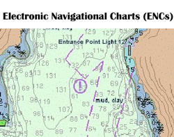
ENCs are vector charts used in high end electronic chart systems such as ECDIS. Download NOAA ENCs for free for your electronic chart system. Not good for printing. |
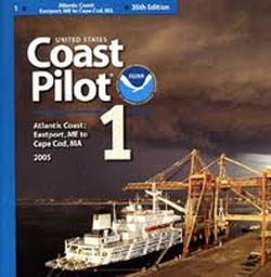
View/download the United States Coast Pilot along with the latest corrections. The Coast Pilot contains everything you need to know about where you are going in the U.S. |
| |
|
|
 |
 |
MORE PRODUCTS/INFO |
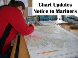
| View all of the latest chart corrections published in the USCG Local Notice to Mariners and the NGA Notice to Mariners |
View, download and print over 30,000 high resolution historical nautical charts |
|